Tour of Accessible Features at West Rail Train Station and Lingnam University
International Mobility Conference, Hong Kong, November 2006
One of the afternoon tours given as part of the 2006 International Mobility Conference showed accessible features at the West Rail Train Station and at Lingnam University, both of which are in the New Territories of Hong Kong. The train station was built just a few years ago. The tour was guided by Navy Hui, from the Hong Kong Society for the Blind. He had worked with the personnel at the transit station and the university to help design and install the accessible features.
West Rail Train Station
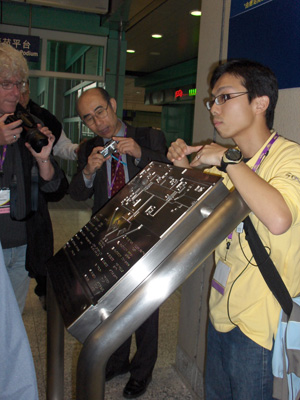
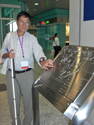
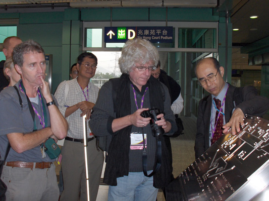
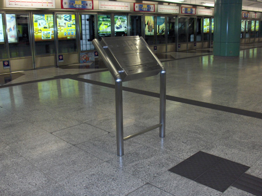
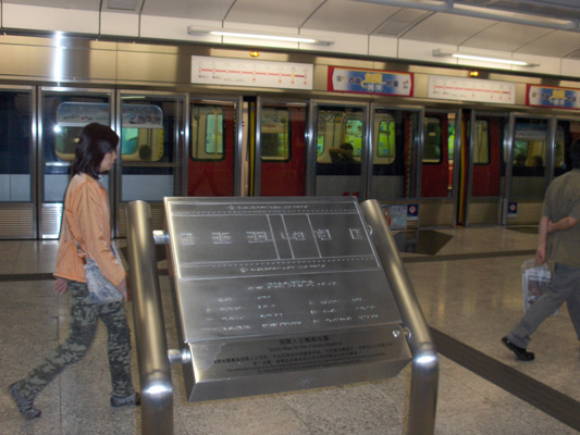
[below, left] Navy Hui shows one of the several tactile maps in the train station, designed by computer and cut by laser. The tactile maps are in Braille but not in print – Navy talked about making future maps accessible to all with both print and Braille. Dr. Sueda Osamu from Japan takes a photo.
[near left] Le Dan Bach Viet, O&M specialist from Viet Nam, examines the tactile map.
[bottom left] Roland Grinsven (left) from The Netherlands listens to Navy’s explanations.
[bottom right] Braille on the railings indicates what is at the top and bottom of the stairs.
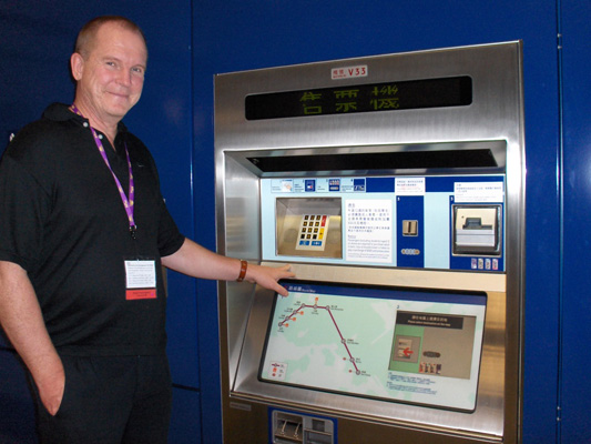
Bengt Elmerskog from Norway stands at the accessible ticket machine. All ticket machines show the route of the train; when customers press the desired station, the cost of the fare shows up in the window. On this machine, the names of the stations are labeled in braille and the fare cost is given verbally as well as print. The remaining funds on customers’ tickets can be displayed in the window but this information is not accessible to blind customers.
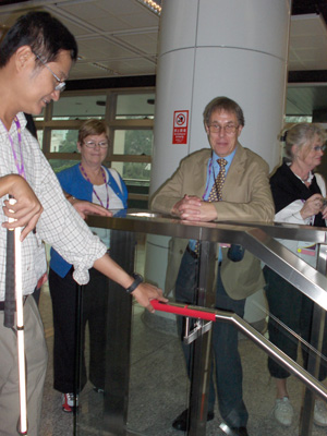
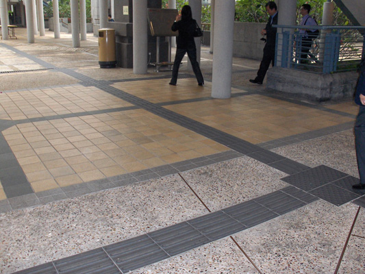
Tactile guide strips on the floor lead to features such as ticket counters, stairs, where to stand for the train, tactile maps, etc. In spite of urging from the Hong Kong Society for the Blind, the transit staff refused to install tactile guide strips leading to the escalators, as they felt that escalators are too dangerous for blind people (although there are auditory cues to locate the escalators). The edge of the platform has walls with doors that open when the train arrives.
Lingnam University
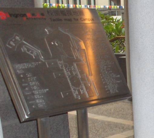
There were several tactile maps on campus. A triangle that indicates where the user is standing is raised slightly above the rest of the map to make it easier to find. The maps have buttons for the user to hear instructions – on this map, one button is for Japanese, the other for English.
[below left] The tactile guiding strip is blended visually with contrasting tiles. For example, the tactile guiding strip in this photograph goes from the corner on the right of the picture towards the left and then turns right again to go between the poles to the stairs, but the line visually appears to extend to the end of the patio (this would be a great way to test O&M students with visual impairments to see if they are using tactile as well as visual information!)
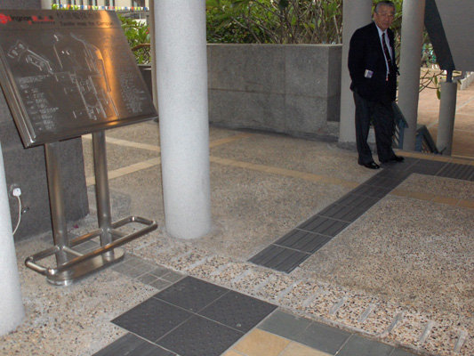
[below right] Truncated domes are used to indicate the location of something of interest (such as the tactile map here) as well as to alert to the presence of stairs (where Kunio Kurachi from Japan stands).